|
|
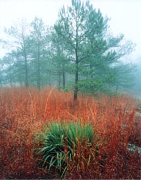
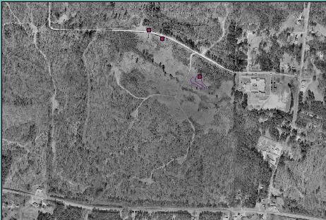
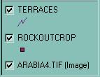
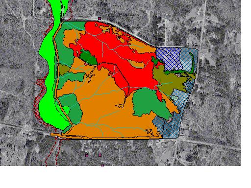
The rock out crops noted with the red squares are important indicators of environmenetally sensitive zones. The agricultural terraces may indicate that there are historical or even prehistoric resources in the area.
|
|
 |
|
|
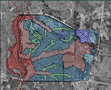
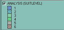
Map Analysis: Scale 1 to 6, with 1 as most suitable site for school and 6 as least suitable.
|
|
|
|
The use of ARC View Gis software allows us to consider site placement based on the overlay of several sets of set of environmental zones.
|
|